The Niger Delta is located in Nigeria, a country located on the western side of Africa.
The country has a varied climate, from arid to humid equatorial and the capital of Nigeria is Abuja.
Nigeria is surrounded by several countries, Niger, Chad, Cameroon, the Gulf of Guinea of the Atlantic Ocean, and Benin (Ade Ajayi, s.d.).
The Nigerian economy is one of the largest in Africa and since the late 1960s it has been based primarily on the petroleum industry.
In Nigeria, about half the population lives in rural areas and half in urban areas (Ade Ajayi, s.d.).
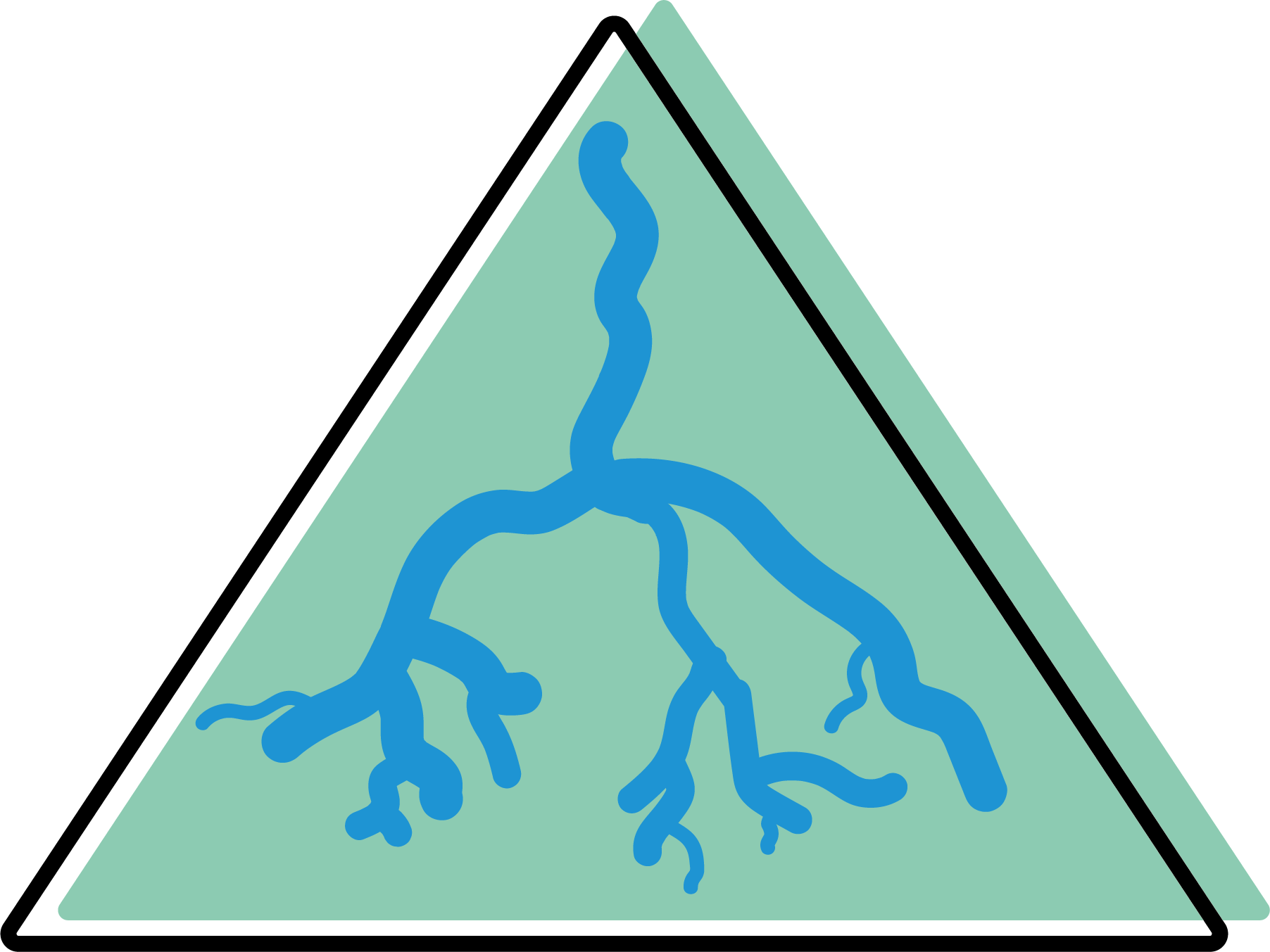
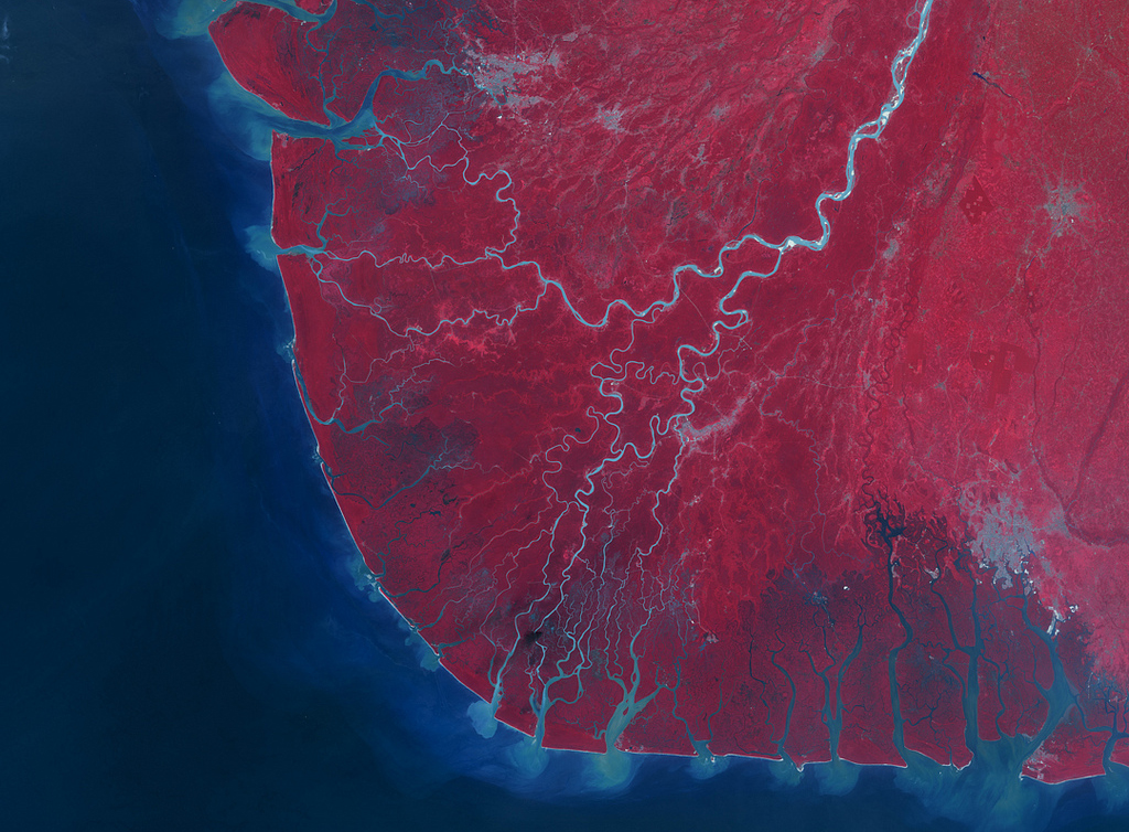
The Niger Delta is located in the south of the country and is a large low-lying area where the River Niger flows into the Gulf of Guinea.
The delta area covers several states: Akwa Ibom, Cross River, Edo, Imo, Rivers, Bayelsa, Delta, Abia and Ondo, which are also the 6 states where all the oil is produced (Delta Alliance, s.d.).
The most important city in the delta area is Port Harcourt with more than 1 million inhabitants.
The delta region extends over 20,000 km2 of wetlands on the country's coastal fringe and includes one of the largest wetlands in the world, over 60% of the largest mangrove forests in Africa, and one of the most extensive in the world (Eyinla and Ukpo, 2006).
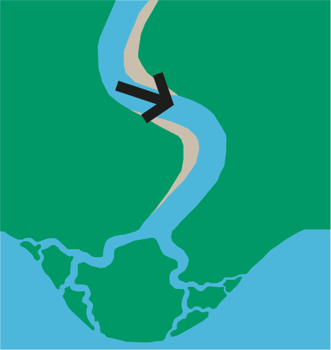
The niger delta is a wave-dominated delta. Wave-dominated deltas tend to take the form of soft, arching protrusions, and beach ridges are more common (Seybold et al., 2007).
The action of the waves at the river mouth causes a strong mixing between the river flow and the receiving water.
As a result, the upward pressure effects are limited and the sediment transport capacity of the river mouth rapidly decreases (Holden, 2017).
Hence, the current loses its energy and all of its load is dissipated along the coast (Seybold et al., 2007).
A study by Oyegun et al. (2016) shows that 26 km2 is highly vulnerable to rising sea levels in the 6 coastal states because they are 0-1 meters above sea level.
This study shows that the coastal area is mainly dominated by low-lying relief of between 0 and 7 meters, while more inland near the delta some areas of land are at 1800 m elevation.
From another study by Musa et al. (2014), it is said that about 40% of the Niger Delta is vulnerable to sea level rise, due to low slopes, low topography, high average wave heights, and unconfined aquifers.
What further does not contribute to the problem of sea level rise is the land subsidence that plays out in the Niger Delta. This amplifies relative sea level rise and is about 25-125 mm per year.
Due to dams built upstream in the Niger River, the construction of jetties/protection structures and the extraction of minerals such as oil and sand, there is a shortage of sediment in the Niger Delta.
Ancillary to this is that there is also coastal erosion.
Additionally, people living in the delta area are usually unwilling to move out of the flood prone areas (Prince C. Mmom, 2013). Often they do not want to because of family ties and affordability. The income level of the people living in the Niger Delta is of great influence in protecting against sea level rise.
As already mentioned, it is difficult to predict sea level rise accurately because it has a 30% fluctuation among different regions of the world. Nevertheless, there is plenty of research on the subject. According to a study by Oloyede et al (2021) that predicts the rate at which sea levels will rise off the coast of Lagos, Nigeria. The best case scenario is that sea levels will only rise 12 cm by 2025 and will then remain fairly stable. In this study, four years have been considered: 2025, 2050, 2075 and 2100. The worst case scenario is that sea level would rise by 49 cm around 2025. And an 85 cm rise around 2100.
Adaptation measures and adjustments come at a price and often this is too expensive for a developing country like Nigeria. In many cases, the delta residents try to do something about the rising sea level, but this is not enough to really make a difference. A scientific article by Okoko and Pius (2007) suggests that the best way to adapt to sea level rise in the Niger Delta is not imposition (top to bottom) but collaboration of all stakeholders and participation of local residents (bottom to top).
In a thesis by Musa (2018), several sustainable measures are mentioned that can be applied by locals and neighbours in the Niger delta:
In terms of major mitigation and adaptation interventions, the following measures can be applied according to Musa (2018):