The Elbe Delta is located in Germany, a country in northern Europe.
Germany is one of Europe's largest countries and Berlin is its capital city.
Germany encompasses a wide variety of landscapes: the tall, sheer mountains of the south; the sandy, rolling plains of the north; the forested hills of the urbanized west; and the plains of the agricultural east.
Germany's surrounding countries are the Netherlands, Belgium, Luxembourg, France, Denmark, Switzerland, Austria, the Czech Republic and Poland (Elkins, s.d.).
In Germany, the majority of citizens live in an urban environment and Germany's economy is one of the largest in the world.
It is mainly based on services (Elkins, s.d.).
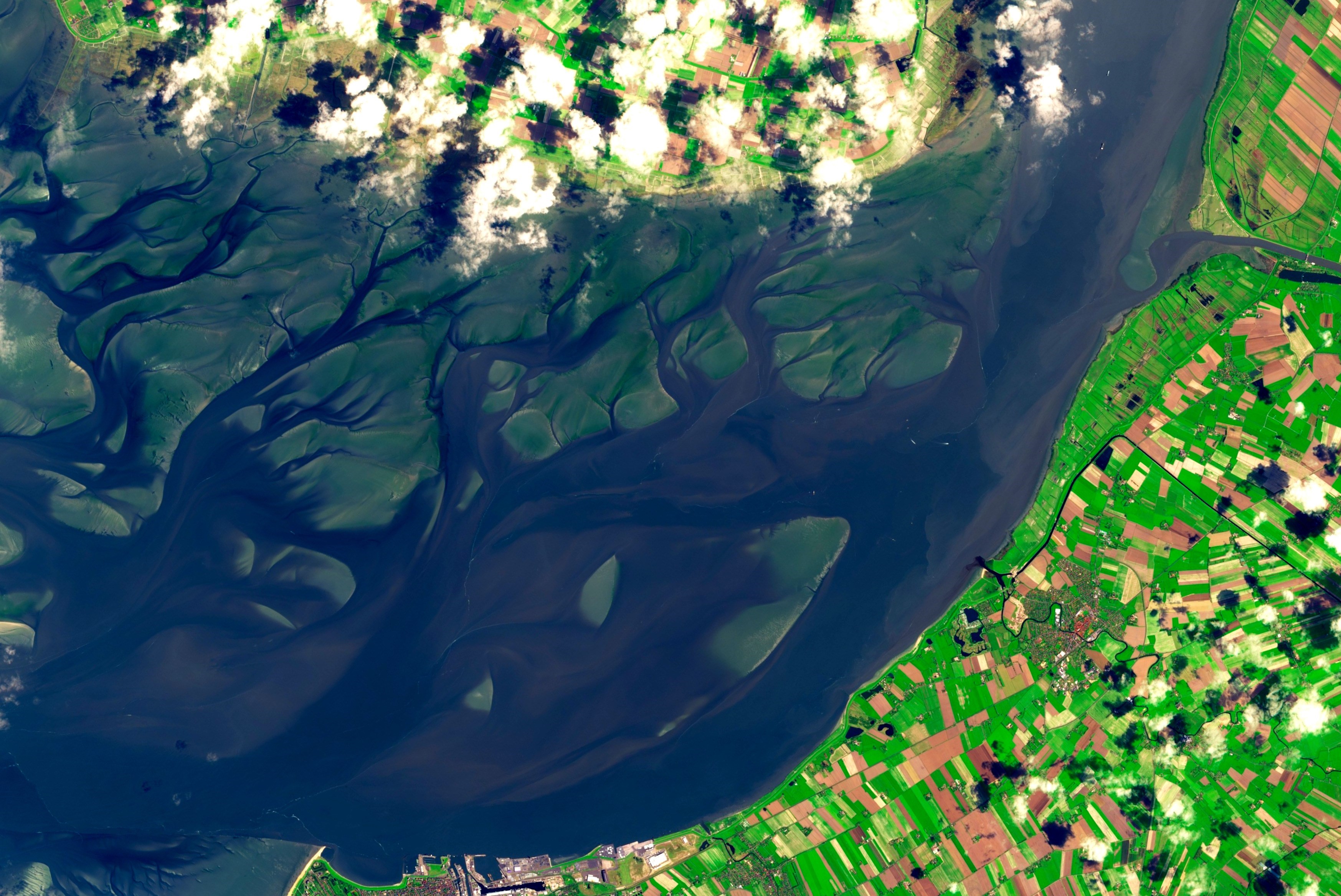
The Elbe Delta is located in the north-east of the country in an area also known as the North German Plain.
This landscape is very flat and shows many characteristics from the last ice age.
A major city situated in the Elbe delta is the city of Hamburg.
This is a large port city and the river Elbe and the delta therefore has an important function, namely shipping.
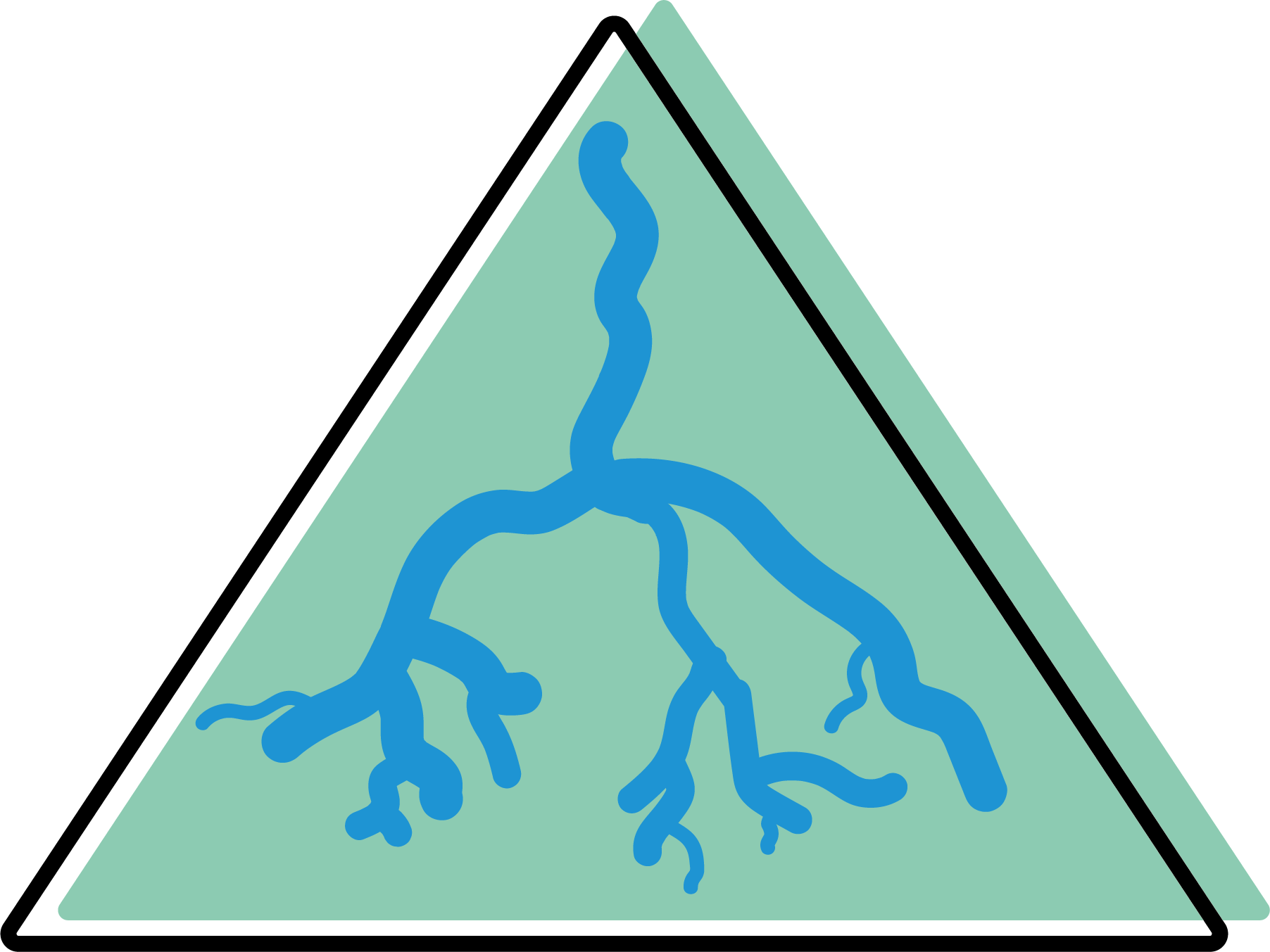
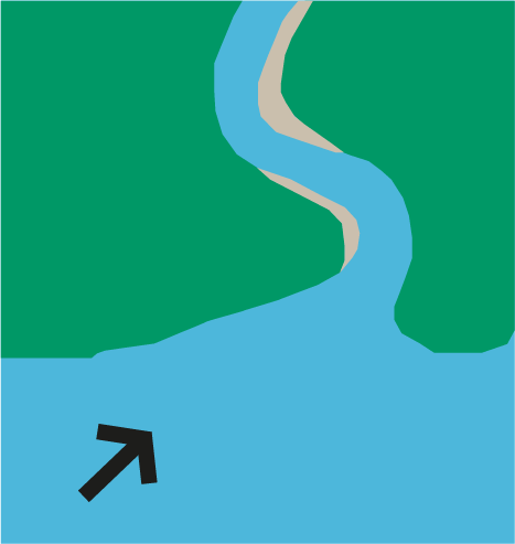
The elbe delta is a tide-dominated estuary.
Tide-dominated deltas occur in locations of large tidal ranges or high tidal current speeds (Seybold et al., 2007).
The tidal prism is larger than the fluvial discharge (Holden, 2017).
In a tidal-dominated estuary, the bottom contours at the mouth of the river curve inwards, indicating an inland retreat of land formation (Holden, 2017).
Research by Seiffert and Hesser (2014) shows that the sea level rise in the Elbe primarily affects the tidal dynamics.
In the Elbe, the high water level rises more than the low water level. Thus, the tidal difference is greater.
The ratio between the speed of the tide and the speed of the ebb tide increases.
Due to the higher ratio between the speed of the tidal current and the speed of the ebb tide, more sediment is transported upstream.
This is unfavourable for the Elbe, due to its waterway traffic.
For the inner estuary, the study showed that the highest water levels of today will be increased by the sea level rise applied at the mouth of the estuary.
A consequence of the sea level rise that the Elbe estuary will have to contend with is a higher salinity of the water as the sea increasingly penetrates the river.
If no fresh water is discharged for a prolonged period (e.g. due to rain), the salt level of the water will be even higher than with sea level rise.
However, it must be borne in mind that a shortage of freshwater is often only temporary and when the sea level rises this salt level will rise permanently.
In total the Elbe estuary will face higher salinities, increased upstream sediment transport, and higher water levels during storm surge must be expected.
Seiffert and Hesser (2014) discuss some measures to counteract rising sea levels at the elbe estuary.
One of them is to narrow the estuary's mouth.
This would reduce the intensity of storm surges entering the estuary.
It would also have a reduced impact on the water traffic, which would not be able to enter and exit the estuary with storm surge barriers.
In addition, this could have positive effects on sediment transport under normal tidal conditions.
Besides the first measure, the article also discussed the possibility of an island in the outer part of the estuary and a dam in the inner part of the estuary.
However, the research shows that the island has no effect on the highest water levels.
But the dam would lower the highest water levels upstream by about 20 cm, so this may still be an option.
When implementing measures in the Elbe estuary, particular attention must be paid to the effect on flow velocity.
High flow velocity can lead to erosion and can influence the maritime traffic.
Another possibility mentioned by Sterr (2008) is the replacement of sluice gates in the Elbe estuary by pump stations.
These continuously pump the water away, which, according to Sterr (2008), is a good way of preventing salt intrusion into the soil and groundwater.
In parallel The Hamburg Port Authority has come up with some measures of its own against rising sea levels:
tidal power attenuation through river construction (mouth of the Elbe).
KLIWAS is a research programme set up by the German government. For the German Strategy for adaptation to climate change (DAS). KLIWAS was active from 2007 to 2013 and was initiated on the basis of the IPCC report of 2007.
Regional strategies concerning climate changes in the metropolitan area of Hamburg sub-project: 'Estuary River Management'.
Klimzug Nord was from 2009 to 2014. This project involved 6 universities, 6 research institutions, 10 governmental and related institutions and 10 companies.
It was funded by the German government plus the goal was to come up with a plan for the period up to 2050.
One of the key messages was: living with water.

The aim of Immerse is to accelerate the implementation of large-scale measures that address multiple estuary management challenges. Immerse focuses on 7 estuaries, including the Elbe. Immerse values stakeholder integration and international cooperation.

Tide was set up by EU Interreg in 2010.
Tide focuses on the four Northern European estuaries Elbe (D), Weser (D), Scheldt (B, NL) and Humber (UK).
Tide brings together relevant scientific disciplines and different institutions related to estuarine management to generate knowledge on estuarine functioning, analyse and evaluate governance structures and restoration and management measures.